
Walk a Georgetown Street by Address
The Georgetown street directory begins with the physical parcel, not a guessed household name. Scott County PVA provides the owner and valuation route, while Georgetown-Scott County Planning Commission maps supply the block view. Carry the owner name and legal description to the clerk because its land index is party keyed, not street keyed. Voter records cannot be browsed as an open street roster, and historical household clues belong in dated directory, census, newspaper, or cemetery sources. This sequence keeps ownership, registration, and actual residence from being treated as the same fact.
- Normalize the street number, directional, and suffix. Put that situs address into the PVA search or GSCPC Parcel Finder.
- Open the matching parcel and record its map ID, owner, legal description, and source date. Print the map if several lots must be compared.
- Use the current owner as the grantee in the Scott County Clerk index. Open the purchase deed and identify the seller.
- For a known person, use VIC with legal name and birth date. Do not infer other occupants from one registration match.
- For an earlier Georgetown household, search the Kentucky Room's census, newspaper, deed, and cemetery runs for the same date and street.
Georgetown Parcel Finder Street Tools
The GSCPC GIS gateway is the usable map fallback when the PVA page does not load. Its Parcel Finder tutorial documents address autocomplete, pan and zoom, parcel click and identify, map printing, and map-ID searching. The ArcGIS parcel service also exposes Query and Identify operations. No public radius tool was verified, so browse or click each lot instead of promising an automatic block roster.
| Search control | Input | Street-directory use |
|---|---|---|
| Address autocomplete | Street number and name | Anchor the physical parcel |
| Owner-name search | Known owner | Find parcels tied to that name |
| Map ID search | Parcel identifier | Return to an exact mapped lot |
| Click or Identify | Point on map | Inspect a parcel along the street |
| Title, author, orientation | Save a dated reference map |
The Parcel Finder print tutorial shows the local address and map controls.
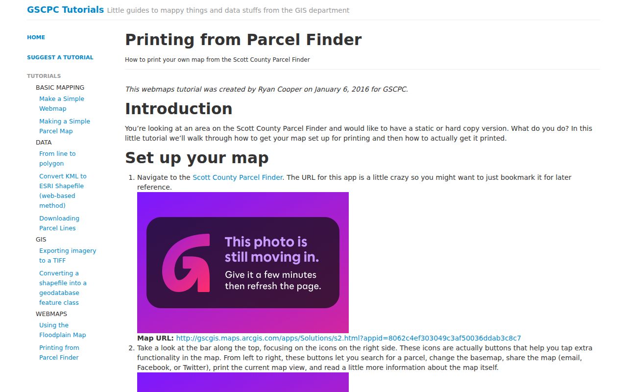
The tutorial supports a repeatable by-address process and a dated printout, not survey-grade proof.
Read Georgetown Parcel Keys Correctly
Four address fields can point in different directions. The situs address is where the parcel sits. The owner's mailing address is where tax or valuation mail goes. The legal description identifies the land through recorded language. A Georgetown postal city line describes mail delivery and does not alone prove that the parcel lies inside the incorporated boundary. Preserve each field under its own label.
- Parcel
- A mapped land unit with a local map identifier.
- Situs address
- The street location of the land or structure.
- Plat
- A recorded drawing of lots, boundaries, streets, and related survey information.
- Criss-cross directory
- A historical directory arranged by street or phone rather than only by surname.
The Georgetown street directory works best when the legal description bridges an address change. GSCPC maps are reference tools, and the planning office warns that mapped data is not a legal document. Use the recorded plat or deed when a boundary or land description must control.
The local PVA parcel-line tutorial illustrates the parcel and owner data connection.
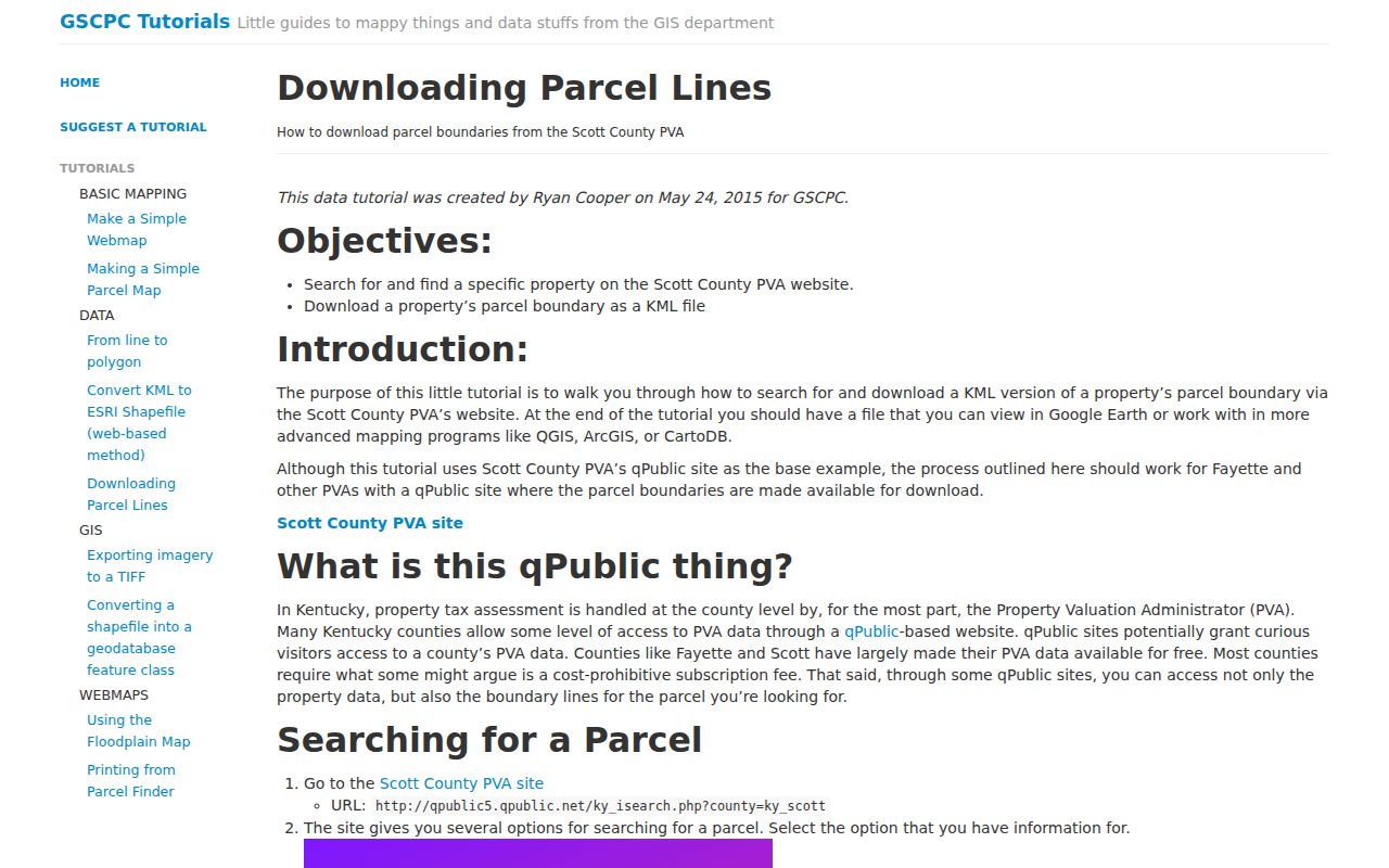
The parcel line is the map bridge; the clerk's recorded instrument remains the document source.
Georgetown Street Directory Record Layers
Several Georgetown records accept an address or can be narrowed to one, but their meaning differs. The PVA and GIS start at the parcel. Building and code files may document work, notices, or case dates. Deeds require an owner-name pivot. The voter system is a person-specific confirmation tool. Newspaper OCR and library microfilm may reveal an older address, but each page image needs review.
| Record Set | Keeper | What It Shows | Access |
|---|---|---|---|
| Property roll | Scott County PVA | Assessed owner, parcel, situs and mailing clues | Web search, office, phone |
| GIS parcel map | GSCPC | Lots along a street, map IDs, plat context | Parcel Finder and ArcGIS |
| Deeds and mortgages | Scott County Clerk | Transfer parties, filing date, book and page | eCCLIX, terminal, request |
| Voter confirmation | Kentucky SBE | One matching voter's registration details | VIC identity lookup |
| Permit and code files | City of Georgetown | Address, application or order details | Targeted records request |
The chain is address to parcel, parcel to owner, and owner to recorded deed. A permit or code request can then use the exact address and a date range. None of these sources supplies a complete household list, and each should keep its access date.
Georgetown Deeds Along a Street
The Scott County Clerk's index is organized by party name and document type rather than street. After Parcel Finder or PVA identifies an owner, search that name in eCCLIX or the deed-room terminal. Use few fields at first. The clerk recommends last name and first name, while a broad document-type choice can prevent an early false negative. Note the book/page, document number, filing date, and legal description.
A free Scott-only eCCLIX account gives county residents five personal, noncommercial searches per day. Paid accounts offer wider access. The public terminal is another channel, and deputy clerks can explain the index, but they cannot complete a title search. The known-document form accepts party names, document type, filing date, optional book/page or instrument number, and an optional property address. The clerk says to allow three business days for review.
The Scott parcel ArcGIS service exposes the map layer that supports this pivot.
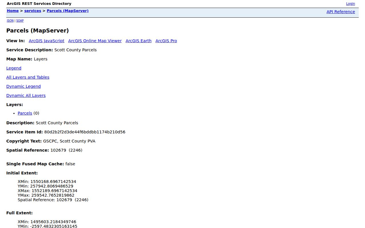
The service can identify mapped land, while the deed index supplies recorded party and transfer details.
Georgetown Permits by Street Address
Georgetown Building Inspection covers plan review and inspections for new work, additions, repairs, signs, pools, and storage structures. No consolidated public permit database was located. A street-directory search therefore needs a narrow request to Building Inspection or the City Clerk-Treasurer. State the property address, permit or project type, and a practical date range. Do the same for code records, which can involve property maintenance, tall grass, stormwater, nuisances, and sidewalks.
The Georgetown Building Inspection page lists its record and form scope.
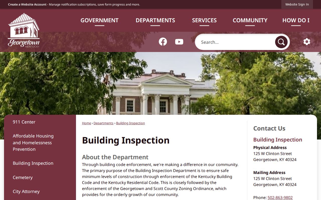
The office page is an access gateway. It should not be read as a searchable history of every Georgetown address.
Code Enforcement posts monthly final orders through the city Document Center and accepts reports by phone at 502-603-5844. A final order may contain an address, case date, violation, notice, citation, and disposition clue. For a fuller file, use Georgetown's open-records form through mail, email, in person, or online submission.
Georgetown Code Records by Address
Code files can confirm that a city or joint-board action concerned one property on a stated date. They do not name every occupant. Build a bounded request from the street directory: one address or a short address set, the type of issue, and the date span. That precision helps the custodian locate orders, notices, or related material without turning the request into an open-ended search.
The Georgetown Code Enforcement page is the official access and reporting source.
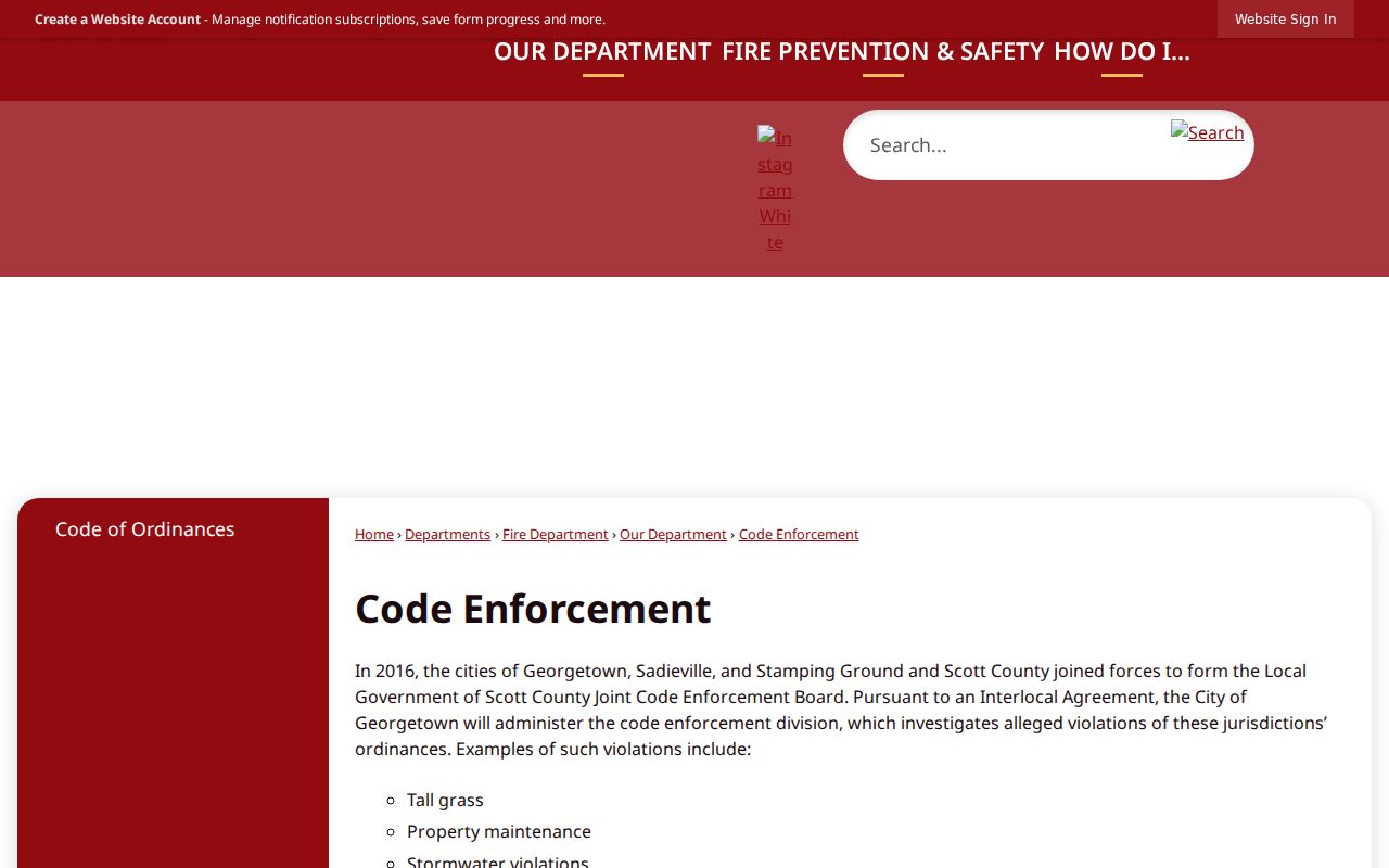
The captured page shows the city channel used when a property issue adds dated context to a parcel record.
Historic Georgetown Streets and Maps
The Scott County Public Library Kentucky Room fills years that modern parcel tools cannot. Its microfilm includes deeds from 1783 to 1886, tax books from 1794 to 1875 with missing years, census schedules from 1810 to 1930, and long Georgetown newspaper runs. The digital archive adds searchable OCR and page images. Exact printed criss-cross directory years were not exposed in the public catalog, so ask library staff for a shelf inventory instead of assuming coverage.
The Library of Congress's June 1912 Georgetown Sanborn set has 19 sheets. Those maps can show a block's built form and street context at one date. Pair a map sheet with a deed, tax entry, or newspaper notice. Courthouse fires in 1837 and 1876 explain some gaps, but the library does not claim every book was destroyed. A no-result may mean damage, a spelling variant, or a different jurisdiction.
For the directory collections themselves, use the Georgetown city directories page. The street angle here is the match between a dated address, the map sheet, and a person named in another record.
Georgetown ZIP and Street Mismatch
Georgetown's verified city ZIP is 40324, while Sadieville 40370 and Stamping Ground 40379 are separate Scott County postal communities. A mailing line, incorporated boundary, parcel situs, and owner mailing address remain four distinct keys. GSCPC's CityLimits layer distinguishes Georgetown, Sadieville, and Stamping Ground, while USPS is the authority for the ZIP attached to one deliverable address.
Do not use a ZIP alone to declare that a parcel is inside Georgetown. Verify the mailing address through USPS, then inspect the municipal layer and parcel. This distinction matters near edges and annexed land, where the postal city can persist without matching the city boundary.
Limits of Georgetown Street Directory
A Georgetown street directory made from public records cannot identify every renter, child, guest, or household member. A parcel record names an assessed owner. It does not prove current occupancy. VIC is a person-and-birth-date confirmation tool, not a public street browser. Kentucky driver information is restricted under state rules tied to federal driver privacy law. Utility, delivery, and private association member data are not supplied by the parcel map.
Safe at Home uses a substitute address for eligible participants and protects information in public and voter records. Sealed cases and confidential vital records create other lawful gaps. Respect those stops. Old scans can also contain sensitive data that should not be copied or spread merely because an image is viewable.
Lawful use. Georgetown address records support personal property research, family history, and civic review. Kentucky law forbids stalking, harassment, intimidation, and harm.