
Georgetown Neighbor Record Coverage
No single public roll lists everyone on a Georgetown block. The strongest method combines the mapped parcels around one address with one official record per parcel. Association pages and historic newspapers add community context, but neither should be turned into an assumed household roster.
| Source | Block evidence | Access route |
|---|---|---|
| GSCPC Parcel Finder | Parcel edges, map IDs, addresses, adjoining parcels | Online click, pan, and print |
| Scott PVA | Property card per parcel where live fields display | PVA portal, office, or phone |
| Deed and plat | Subdivision, lot/block, parties, legal description | Clerk, eCCLIX, request form |
| SBE-84 voter file | Regulated precinct and list fields | Qualified request only |
| Code final orders | Address-specific public notices and orders | City Document Center or records request |
| Association pages | Public streets, governance, and contacts | Public pages; no roster assumption |
| Library archive | Older people, places, notices, and block events | OCR, microfilm, Kentucky Room |
A parcel owner may live elsewhere. A mailing address may be different from the situs address. Renters and other household members may not appear at all. Report each Georgetown neighbors result as ownership, occupancy evidence, or community context according to what the source truly shows.
Start with the smallest useful area. The lots touching an anchor parcel are easier to verify than a loose radius, and each one has a map identity that can be checked. Expanding too soon can mix another subdivision, municipal boundary, or postal community into what was meant to be an immediate Georgetown block search.
Map Georgetown Neighbors by Parcel
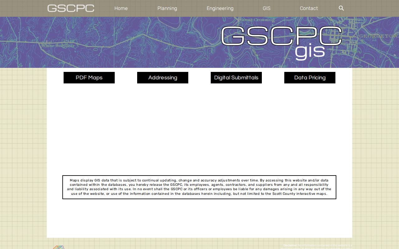
The Georgetown-Scott County Planning Commission GIS gateway is the local map starting point. Parcel Finder supports address autocomplete, pan and zoom, parcel clicking, and print controls. Research did not verify a radius or buffer button, so the defensible approach is to inspect adjoining parcels one at a time.
- Search the anchor address and confirm the parcel outlined on the map.
- Write down its map ID, subdivision or legal description, and the map date.
- Pan along the immediate block. Click each adjoining parcel and record it as a separate lead.
- Check each parcel through the PVA, then use a name or legal description in the clerk’s party-based index when needed.
- Print a dated reference map. Do not describe it as a legal boundary survey.
The Planning GIS gateway assigned to Georgetown neighbors is shown below. It provides the official route to the Parcel Finder and plat tools.
For a whole road rather than the immediate block, use the Georgetown by-street directory. That separate workflow follows a named street from parcel to deed and address records.
Confirm Each Georgetown Neighbor Lead
The Scott PVA advertises free property access and directs deed questions to the Scott County Clerk. Its current form was blocked during research, so exact live parcel-card fields and sales controls should not be promised. The GSCPC tutorial verifies address, owner-name, and GIS Map ID search paths, plus a Map It link and parcel information panel.
Use the physical situs address to locate land. Treat the owner mailing address as correspondence data only when the current card displays it. A matching mailing and situs line can be a clue, but it does not establish every person living there. Homestead or exemption fields also should not be inferred if the live card cannot be seen.
The clerk index then adds recorded context. It follows party names and documents, not the street. A deed may show grantor, grantee, legal description, book/page, instrument number, date, and acknowledgment. Read the image before tying the party to the mapped lot.
If a parcel belongs to an entity, the Kentucky Secretary of State business search may clarify the registered organization, officers, or agent shown in its filings. That is a business connection, not proof that an individual lives on the lot. Preserve that distinction in any neighbor notes.
Georgetown Neighborhood Associations
Public association pages help name subdivisions, development eras, streets, and governance contacts. They do not prove current residence or membership. The Georgetown research found several useful community layers.
The Landing
Its public page names Pleasant Valley streets including McIntosh Park, Barry Road, Travis Way, Carolla Circle, Ingle Run, Tundra Hill Court, and Bueno Xing.
Morgan Manor
The public FAQ discusses dues, proxies, quorum, and covenant governance without publishing a resident roll.
Victoria Estates
The public association page describes the community’s development from farmland during the 1990s.
Mallard Point
The association history dates its formation to 1985, a useful starting era for plats and newspapers.
The The Landing public association page appears in the next capture. Its street context helps define a community search without disclosing a private member list.
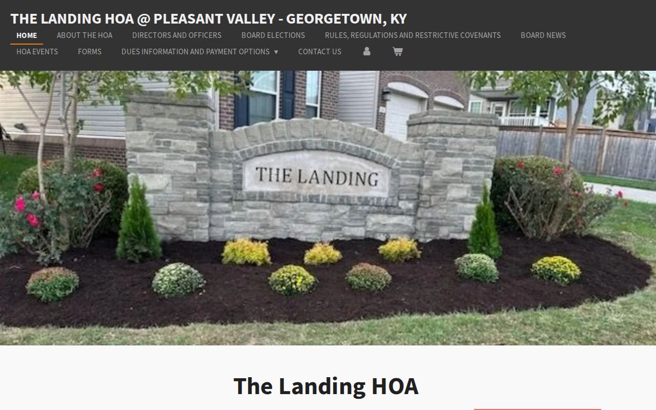
Use the site to identify the subdivision vocabulary, then verify parcels and plats through GSCPC and the clerk.
Morgan Manor Community Records
The Morgan Manor HOA FAQ is a public governance source. It can explain association processes and provide a public contact path. It cannot tell who lives at every address or whether a named owner is a member in good standing.
The assigned capture below preserves the page context available during research.
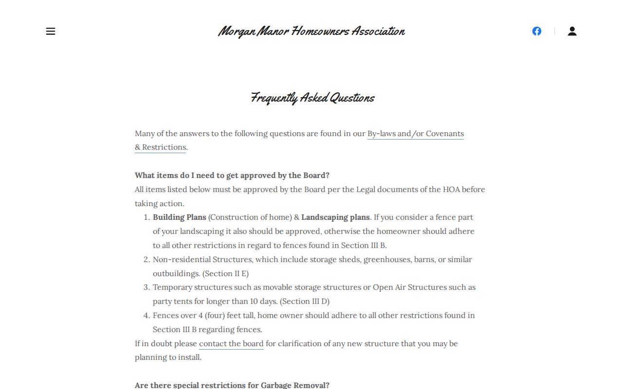
For block research, association material is best used after the plat identifies the subdivision. Ask only for records that are publicly available, and do not infer private contact information from a governance notice.
Canewood and Barkley Meadows also have public pages, though resident or meeting material may require a login. Mallard Point’s public history is useful for its 1985 association date. These pages help set the language and era of a search while leaving private member records behind their proper access controls.
Victoria Estates Neighborhood History
The Victoria Estates public site adds a development-era clue. Its account of farmland becoming a community in the 1990s helps choose a date range for plat, deed, permit, and newspaper research.
The image below shows the public community page assigned to this Georgetown neighbors page.
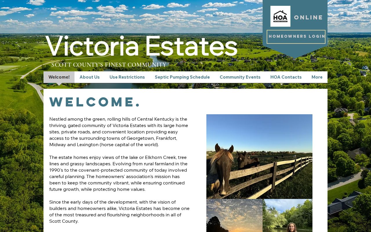
A history page is background, not parcel proof. Confirm the subdivision boundary with the recorded plat and planning map, then treat each lot separately.
Georgetown Neighbor Voter Limits
Kentucky’s Voter Information Center asks for one person’s legal first name, last name, and date of birth, with optional last four Social Security number digits. It is meant to confirm current registration, polling place, and absentee-ballot status. It is not a public street browser.
Broader list access follows KRS 116.095 and 31 KAR 3:010. The SBE-84 route requires requester details, an eligible purpose, an oath, scope choices, and delivery or payment information. The form states a 7–10 business-day production period. It is not a casual way to download Georgetown neighbors by block.
Voter products can contain address, party, age code, gender, ZIP, and voting-history fields under the regulation, but they are not a household census. Social Security numbers are redacted, ballot choices are not shown, and Safe at Home participants may use substitute addresses.
Georgetown Block Permits and Plats
Recorded plats identify subdivision, lot, block, and plan context. The clerk’s recorded plat controls; a Planning Plat Finder result is a convenient map lead. If a deed cites a cabinet and slide, retrieve that exact recorded sheet rather than relying only on a web map.
Georgetown Building Inspection lists application and permit categories but no complete public search. Code Enforcement publishes some monthly final orders and accepts reports. For a block question, submit a narrow city open-records request naming the addresses, record type, and date span. Ask the clerk for a known deed or plat through its own request process.
Phone and counter channels remain useful. Contact GSCPC for map and address questions, PVA for parcel records, the deed room for recorded instruments, and the Kentucky Room for older block evidence.
A request for every record in a broad neighborhood is likely to be vague. List the precise addresses, the permit or order type, and a limited date range. If a monthly final order already answers the question, cite that posted record and ask for the full case only when it is needed.
Official Georgetown Neighbor Sources
Commercial neighbor tools can merge stale address and name data. Official sources are narrower, but each field has a named keeper and a correction route. That distinction is more valuable than an unsupported promise of a complete block list.
| Source type | Strength | Important limit |
|---|---|---|
| Official parcel, deed, and plat records | Dated, custodian-held property evidence | Ownership does not equal occupancy |
| Official voter access | Regulated registration fields | Not a household or casual street roster |
| Public association page | Community and governance context | No assumed membership list |
| Commercial compiled tool | May combine many sources | Can be stale, merged, or hard to verify |
When a field appears wrong, contact the custodian. The PVA handles property-card questions, the clerk handles recorded-index issues, and election officials handle registration corrections.
Historic Georgetown Neighbors
For an older block, search the street segment, subdivision, cross street, and name variants in the Scott County Public Library archive. Newspaper runs begin in 1816 with title-specific gaps. Microfilm has no surname or subject index, while digital OCR must be checked against the actual page image.
The verified June 1912 Georgetown Sanborn set has 19 sheets. It can show building footprints, use, construction, and nearby businesses, not occupants. Pair it with deeds, tax books, census schedules, cemetery records, or a dated newspaper notice. Kentucky Room staff can also check family files, maps, local volumes, church material, and funeral notices.
Note: Historical adjacency should be based on a dated map, since today’s parcel pattern may not match the older block.
Privacy for Georgetown Neighbors
Parcel maps do not supply every occupant, renter, utility customer, delivery record, driver detail, or private association member. Kentucky Safe at Home provides substitute-address protection for eligible participants. A protected address should never be reconstructed through old records, relatives, or adjacent parcels.
Lawful use. Use Georgetown neighbor records for civic curiosity, community contact, or personal safety, never to track, harass, intimidate, or expose anyone.
A reliable Georgetown neighbors result says what remains unknown. Map adjacency is not a survey. Ownership is not proof of residence. A public HOA page is not a member directory. Those limits protect both accuracy and privacy.